01
Costly and slow to collect
Satellite, UAV, and ground campaigns require substantial time and budget, and cannot support rapid iteration.

PrimeRay
From environmental processes to sensor observations, PrimeRay generates controllable, interpretable synthetic data with known ground truth. The data are used for satellite payload design, algorithm verification, and AI training.
01
Digital scene
02
Physical and environmental processes
03
Sensor physics
04
Observations and ground truth
Challenge
Satellite, airborne, and field campaigns cannot cover the scenes, sensors, and labels required for payload development and algorithm validation.
01
Satellite, UAV, and ground campaigns require substantial time and budget, and cannot support rapid iteration.
02
Extreme weather, unusual structures, disasters, and sensor anomalies rarely appear at the scale needed for robust analysis.
03
Operational remote-sensing and environmental data seldom include process-level, pixel-level, or 3D structural truth.
04
Before launch, new payloads still require algorithm studies, SNR assessment, and data-product verification.
Approach
PrimeRay starts from 3D structure, physical mechanisms, and environmental processes, then simulates the measurements a real sensor would record.
Parameterized 3D environments: forests, cities, solar fields, and terrain.
Radiation, energy, photosynthesis, heat, water, and stress.
Multispectral, hyperspectral, thermal infrared, LiDAR, RGB, and UAV.
Controllable synthetic data with known truth at every layer.
Supported processes include radiative transfer, light absorption and energy partitioning, photosynthesis and fluorescence, thermal response, and hydro-thermal stress, with extensions to urban heat, photovoltaic irradiance, and crop growth.
Explore the technology →Data products
A single digital scene can yield multiple sensor products, together with process variables that field campaigns rarely measure in full.
Multispectral
Configurable optical bands
Hyperspectral
Continuous spectral cubes
Thermal infrared
Temperature-aware observations
LiDAR
3D structure and returns
RGB and UAV
Visible and aerial imagery
Process ground truth
Variables behind the observation
Examples of process truth
Demonstrations
These demonstrations show how PrimeRay turns digital scenes into verifiable multi-sensor data for payload studies, ecosystem process simulation, and generation assessment.
01
Simulated observations before a payload reaches orbit
Construct a virtual surface, set bands, resolution, and SNR, and generate multispectral or hyperspectral observations for design review and algorithm development.
View demonstration →

02
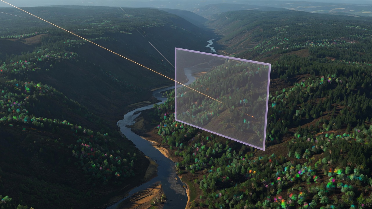
From canopy structure to fluorescence and heat
Starting from 3D vegetation structure, simulate radiation, photosynthesis, fluorescence, and temperature, then generate multi-sensor observations.
View demonstration →
03
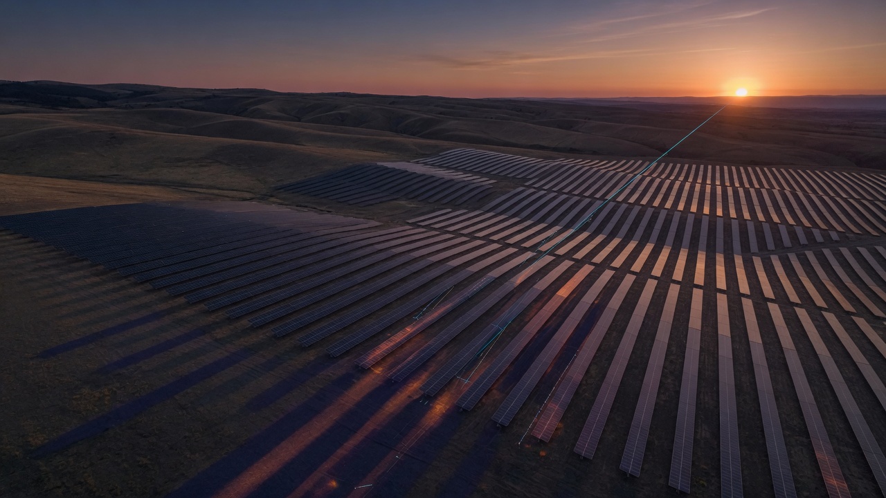
Terrain, component-level occlusion, irradiance, and generation
Reconstruct photovoltaic arrays on real terrain, and simulate component-level occlusion, irradiance, and power generation.
View demonstration →
Applications
PrimeRay supports satellite remote sensing and payload development, and applies the same physics-based pipeline to energy digital twins, agricultural ecosystems, and AI training.
Applications
Generate the observations a payload would record before launch, to support design trades, parameter studies, and algorithm verification.
Discuss your scenario →
Reconstruct photovoltaic arrays on real terrain to simulate component-level occlusion, irradiance, and generation.
Generate process-level truth for canopy structure, photosynthesis, and environmental stress—not only image labels.
Supply physically consistent, fully labeled data for models that will operate on real sensor observations.
Built on long-term research in 3D physical modeling and quantitative remote sensing.Explore the technology →
Work with PrimeRay
We deliver task-specific datasets, integrate generation into existing systems, and co-develop solutions for defined industry scenarios.
01
Synthetic datasets specified by sensor, scene, volume, and ground-truth layers, delivered as data products.
02
SDK, API, or workflow interfaces that place PrimeRay generation inside your existing systems.
03
Collaborative simulation and synthetic-data solutions for a defined industry application.
Contact
We reply within two business days. Conversations typically begin with a requirements review, followed by a demonstration and data sample where appropriate.